Spray I Spread I Survey
Welcome to SkyApply, where we lead the way in modern land and asset management using advanced drone technology in Tasmania. At SkyApply, we operate under a ReOC (Remote Operator’s Certificate), which legally permits us to commercially operate drones weighing up to 150 kg.
We specialize in advanced drone operations for land and asset management, precision spraying, high-resolution photography, and thermal imaging—delivering accurate, efficient, and actionable insights across agriculture, infrastructure, and property sectors.
SkyApply's Chief Remote Pilot Fergus McEwan Foulds is commitment to sustainability, safety and quality optimizing operations and supporting informed decision-making across Tasmania.
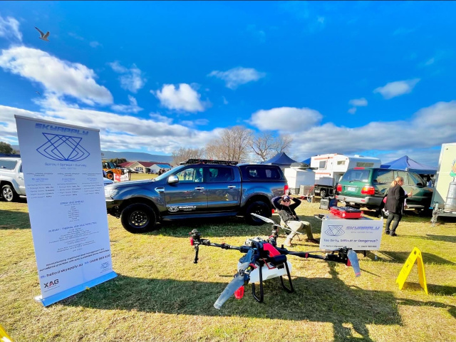
SkyApply as featured on ABC Country Hour
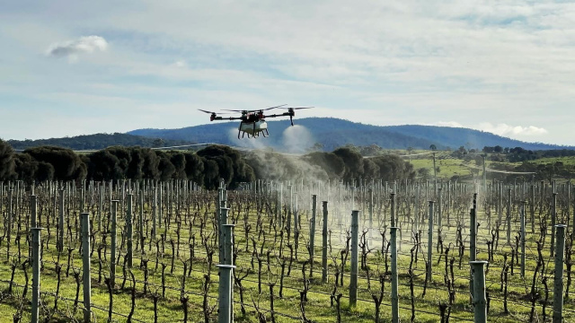
Our Equipment
XAG P100 Pro
The XAG P100 Pro is designed for high-efficiency land management. Equipped with RTK functionality, and a 110kg flight weight it excels in precise spraying and spreading operations, covering up to 12 hectares per hour (liquid) and spreading 0.8 tonnes of granular material per hour. Its soil-friendly design minimises ground disturbance, fuel burn, crop damage and supports sustainable practices, making it ideal for targeted herbicide, pesticide, fungicide and fertiliser applications.
DJI Mavic 3 Multispectral
The DJI M3M combines RTK accuracy with specialized multispectral imaging capabilities. It captures detailed images in various spectral bands, including red, green, blue, near-infrared, and red-edge. This allows us to perform comprehensive multispectral surveys, providing valuable insights into crop health, vegetation growth, and environmental conditions for optimised agricultural and monitoring practices.
DJI Matrice 4 Thermal (4T)
The DJI Matrice 4 Thermal (4T) is a compact enterprise drone designed for critical operations like search and rescue, inspections, and public safety. It features a high-resolution thermal camera, zoom lens, and laser rangefinder, along with RTK GNSS for centimeter-level accuracy. Its advanced sensors and AI functions ensure precise performance in complex or low-light environments.
SkyApply at the Grounded Festival!
SkyApply - Precision Agriculture Tech Adoption Projects
Our drones being used for vineyard management.
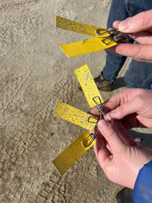
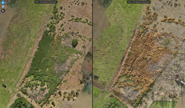
Can our equipment handle Gorse? Of course!
It’s one of the most common questions we get — and the answer is yes.
These before-and-after shots show how our drone technology effectively controlled a Gorse infestation with minimal impact on the environment.
Our drone solution offers:
- Precision spraying to reduce chemical use
- Significant water savings
- Less fuel and labour required
- Improved safety by avoiding hazardous terrain and
- No damage to surrounding vegetation
Efficient, targeted, and sustainable — it’s land management redefined.
Contact Us
At SkyApply, we’re dedicated to transforming land and asset management through drone technology and a commitment to sustainability, safety and quality. Whether you need precise aerial surveillance, efficient land management solutions, or stunning high-resolution imagery, our team is here to assist you.